The department of Ucayali was founded on June 18, 1980 by D.L. No. 23,099. Subsequently, on November 25, 1988, the Ucayali region was created by Law No. 24,945.
Map of Ucayali

Creative Commons Attribution-ShareAlike 3.0 Unported
It is located in the central and eastern zone of Peru, being its capital Pucallpa.
It limits by the north with the department of Loreto; to the south with the departments of Madre de Dios, Cusco and Junín; to the east with the Republic of Brazil and to the west with the departments of Huánuco and Pasco.
Provinces of Ucayali

Its area is 102,410.55 km2 and includes four provinces:
- Colonel Portillo (36,815.86 km2),
- Atalaya (38.924, 43 km2),
- Padre Abad (8.822,50 km2)
- and Purús (17.847,76 km2).
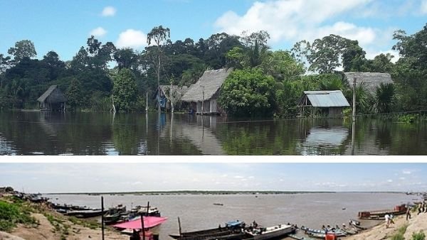
Ethnic groups
The first settlers of this department were the Panos, who were located along the Ucayali River.
The ethnic groups that currently inhabit this region are:
- The Shipibo-conibo,
- Cashinahua,
- Cashibo-cacataibo,
- Matses, Yaminahua,
- Sharanahua-marinahua,
- Capanahua,
- Amahuaca,
- Mastanahuasharanahua-marinahua
- and Marinahua;
They represent the historical and cultural heritage of the region.

Source: Mediante concurso publico, CC BY-SA 4.0, via Wikimedia Commons
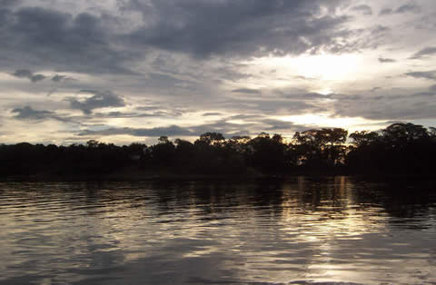
Relieve
Ucayali presents a varied relief and is characterized by three types of landscapes: jungle brow, high jungle and low jungle, which show its great biological diversity.
Hydrography
The hydrographic network comprises five important basins: the Ucayali River, the Aguaytía River, the Yurúa River, the Urubamba River and the Purús River (Government of Ucayali, 2005).
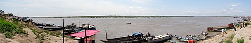
Ucayali Tourism
Source: Jorge Campos Pérez, CC BY-SA 3.0, via Wikimedia Commons
The current and potential tourist offer of Ucayali is related to nature and adventure tourism, cultural-mystical tourism and urban tourism.
Protected natural areas
- In this region there are the following protected natural areas: Cordillera Azul National Park,
- Alto Purus National Park,
- El Sira Communal Reserve,
- Purús Communal Reserve
- and Sierra del Divisor Reserved Zone.
Tourist places of the Coronel Portillo province
On the other hand, among the representative tourist resources of the Coronel Portillo province, the following stand out:
- Pucallpa Natural Park,
- Catedral Virgen Inmaculada,
- Ethnographic and Cultural Museum “William Cameron Townsend”,
- Plaza de Armas of Pullcapa (Main Square),
- Yarinacocha Lake
- Regional Museum of Ucayali,
- Cashibococha Lagoon
- and Kuka Ethnobotanical Garden.
Tourist places of the Padre Abad province
In the province of Padre Abad, the main tourist sites are:
- Alexander von Humboldt National Forest,
- Waterfall Veil of the Bride,
- Aguaytia Bridge,
- Santa Rosa Falls, Shower of the Devil and Los Macaws,
- Malecon Villa Aguaytia.
Tourist places of the Atalaya province
The province of Atalaya is the furthest from the region and some potential tourism resources are identified in it, as long as the basic infrastructure services are implemented, among them the following stand out:
- Pozas: Salazar, Dionicio,
- Aerija viewpoint (mirador),
- Swallow Waterfall (Cascada Golondrina),
- Caves: Churivanti, Cueva Campos, Tambo Ushco,
- Cascada Velo de la Quinceañera (Fifteen-year-old-girl Veil Waterfall),
- Thermal waters,
- and Collpa de Tucani.
Tourist places in the province of Purés
Likewise, in the province of Purés there are potential tourist resources, such as:
- Plaza de Armas (Main square),
- Cocha Pernambuco (lagoon) and
- Cocha El Anguilla (lagoon).
References
- Gobierno Regional de Ucayali.
- (2005). Estrategia regional de la diversidad biológica
- (2014). Plan estratégico regional de turismo 2014-2023
- (2016). Análisis situacional de salud -2016.
This post is also available in:
![]() Español (Spanish)
Español (Spanish)